|
 |
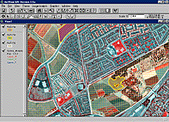
ArcView Image Analysis Extension ERDAS and Esri announce the
development of ArcView Image Analysis, a new extension
that brings geographic imaging functionality to the
ArcView GIS software environment for the first time. ArcView Image Analysis complements the existing raster-based spatial analysis of ArcView Spatial Analyst, providing a simple and intuitive extension to ArcView GIS for accessing a wide range of image data types and performing image visualization and enhancement, map registration, feature extraction and image categorization, and simple change detection. ArcView Image Analysis provides a range of functions that meet the image analysis and display needs of most ArcView GIS users. At the same time, it provides a direct path from ArcView GIS to ERDAS IMAGINE for users with more complex or sophisticated geographic imaging and processing needs. Data flow between ArcView GIS, ArcView Image Analysis, ArcView Spatial Analyst, and ERDAS IMAGINE is direct and transparent to the user. |
    |
     |
 |
| [Introduction] [Conference programme] [Presentation by author] [Presentation by category] [Poster session] [List of exhibitor] [List of European Esri distributor] [Esri products news] [Credits] |