Integration of Hydraulic Sewer
Models and GIS
A Case Study
Esri User Group Paper #359
Abstract
This paper will present the results of an extensive development effort over a
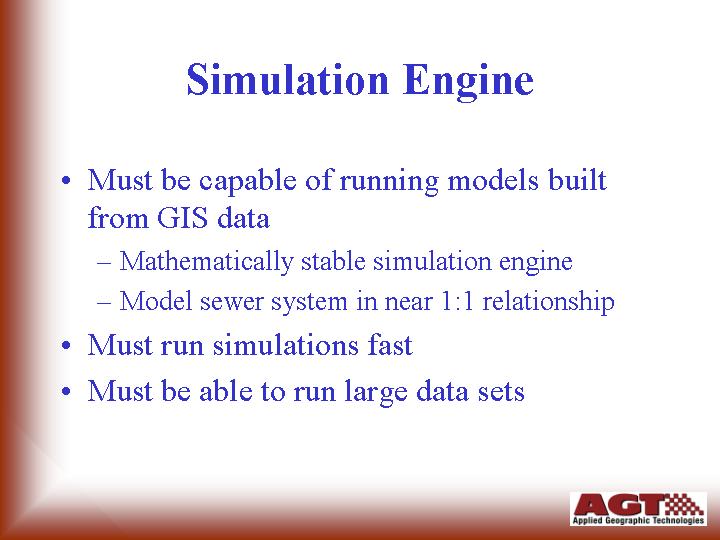
three-year period. InfoWorks is the result of this effort. This software is
unique in many aspects and redefines the way modelers use data, manage models
information, and track work progress. It features an audit trail, one common
database, and full Esri graphics via MapObjects as the embedded graphics engine.
It also quickly and seamlessly imports and exports to ArcView GIS as well as
ASCII and various relational databases.
This paper will present the results of several case studies of its use in major
cities around the United States. In most cases the case studies are reflective
of InfoWorks integrating with legacy GIS within the municipal environments.
Authors
Thomas C. Davies, P.E.
Applied Geographic Technologies, Inc.
Paul Banfield
Wallingford Software, Ltd.
Presentation Index
Author Contact Information


Acknowledgments
Thanks to:
Dong Nguyen, PE - City of
Austin
Peter Fu, PE – City of Fort Worth
•Wayne
Zahn, PE – City of Seattle
•Chuck
Linders and Bob Carr - Earthtech
Brad Pierce and Dale Orth - Applied
Geographic Technologies
Endnotes
All screen captures in this presentation were created from actual project
data within InfoWorks CS ™ and ArcView ™.
For additional information please contact the author at the address listed
below.
Thomas C. Davies, P.E.
President
Applied Geographic Technologies, Inc.
800-523-0056
817-870-1503
http://www.overflows.com
tcdavies@overflows.com