Kristin R. Mabry, Steve G. Lewis, and Catherine Coon
The purpose of this project was to gather available data on SSL populations in the Gulf of Alaska, Bering Sea, and Aleutian Islands, and on commercial fisheries harvest and management in these areas, and summarize the data in a usable format for the North Pacific Fishery Management Council's sub-committee charged with recommending SSL protection measures for 2001 and beyond. We obtained data from several agencies detailing SSL abundance, trends, and diet composition, fish abundance and catch data, current fishery management restrictions and closed areas, fishing vessel accidents, and bathymetry. The data were then processed and analyzed in a GIS database according to various committee requests. The database was used in meetings for specific queries and information processing by staff in support of the committee's decision-making process, and later for the Alaska Board of Fisheries. This white paper briefly describes our GIS efforts to support this process.
In August of 2000, as a result of a lawsuit filed by Greenpeace,
Judge Zilly issued a Trawl Injunction for all groundfish species in all
Steller Sea Lion (SSL) critical habitat. This injunction lasted until
shorty after the November 30, 2000 BiOp (Restricted and Closed RPA Area
Approach) was filed. The North Pacific Fishery Management Council's
Scientific and Statistical Committee (NPFMC-SSC) found that Biological
Opinion was "scientifically deficient." Similarly, Alaska's fishing
industry refused to endorse the document. As a result, in February
2001 the NPFMC created a Reasonable and Prudent Alternative Committee (RPAC)
comprised of fishing industry representatives, environmental organization
leaders, and National Marine Fisheries Service (NMFS) and State of Alaska
Department of Fish and Game management and researchers. The committee's
goal was to develop a fishing plan that met the mandates of the Endangered
Species Act in relation to Steller sea lions (SSL) and the Magnuson-Stevens
Fishery Conservation and Management Act, while conserving marine biodiversity
and sustaining viability of the diverse fishing communities dependent on
Alaska's fishery resources.
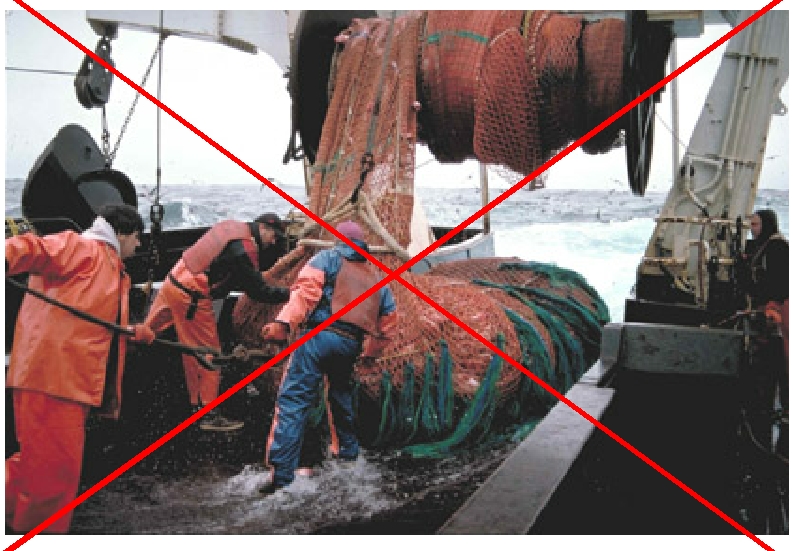
The RPAC developed the following criteria for their proposal. It must protect rookeries and haulouts, include spatial and temporal apportionment of the commercial fisheries harvest, institute a global control rule, include experimental design monitoring and VMS monitoring. As research/technical staff assigned to support RPAC, our first directive was to gather available data on SSL populations in the Gulf of Alaska, Bering Sea, and Aleutian Islands, and on commercial fisheries harvest and management in these areas to enable the committe to make informed decisions. NMFS already has some fishery management measures in place to protect Steller sea lions, regulating where and when fisheries can occur. These measures, along with results from recent SSL research, provided a plethora of spatial and temporal data that need to be collected, processed, and assembled into a GIS database. We obtained data from the National Marine Mammal Lab, the Alaska Department of Fish and Game, NMFS, the U.S. Coast Guard, and the North Pacific Groundfish Observer Program. Data include information about SSL abundance and trends from surveys, SSL diet composition from scat samples, fish abundance from surveys, fishery catch data from reported landings and vessel-based observations, current fishery management restrictions and closed areas, fishing vessel accidents, bathymetry, and limited SSL telemetry.
We summarized the data as point, line, and polygon coverages and shape files in our GIS, then loaded the GIS onto laptop computers so that we could dynamically present findings and generate on-the-fly queries during RPAC meetings. At the meetings we successfully used the GIS to answer many questions, including:
Our GIS analysis of such questions pointed out several interesting
things. First, a simple overlay of currently closed fishing areas
and SSL population trends pointed out that the trend in the Bogoslof area
of the Eastern Bering Sea, an area that has been closed to commercial fishing
for pollock for several years, is still decreasing. Conversely, other
trends in the Eastern Bering Sea, where a very large commercial pollock
fishery occurs, are increasing each year. Scat samples collected
from one SSL rookery in this increasing trend area suggests that SSL are
eating a very diverse diet there compared to findings from similar samples
collected in other regions. These results suggest that more research
is needed to understand the relationship between commercial pollock fishing
and SSL abundance trends.
Next, we were asked to calculate the percentage of SSL critical habitat area that would be closed to commercial fishing under different management scenarios, and how many adults, juveniles, and pups were observed in these areas during the latest field surveys. The RPAC quickly began to understand how the population trajectory models are calculated, and noticed that future trend projections showed a greater increase when they suggested closing areas with greater numbers of animals, and/or areas that were experiencing significant declines. In order to better understand how past management measures compare to current proposals, we were asked to re-create the spatial Steller sea lion protection measures from 1992 - 2002 and calculate the percent of area closed between 0-3nm, 3-10nm, 10-20nm and find any additional foraging area closed for Steller sea lion protection in the BS, AI, and GOA management areas.
Then, we were asked to provide potential locations for an experimental study on localized depletion of Pacific cod. The protection measures were required by the NPFMC to have small scale experiments built in as adaptive management tools. Similar studies are currently beind conducted on walleye pollock and Atka mackerel. The east coast of Kodiak Island, the Shumagin Islands, and Unimak Pass all have significant Pacific cod harvests, so that a depletion from the fishery could be detected. These areas also have SSL haulouts that meet the NMFS criteria as important winter sites (because the bulk of the fishery occurs from January - April), and scat samples that suggest Pacific cod is an important component of the SSL diet in these locations.
As a result of many meetings and many questions, the RPAC provided an SSL protection measures proposal to the NPFMC which was eventually approved by the Secretary of Commerce. The measures include complex spatial and temporal fishery allocations according to target species, area, season, and gear type. The suite of protection measures produce create an SSL population trajectory that is slightly better than that of the BiOp 2000.
GIS has been beneficial in enabling RPAC to understand potential consequences associated with proposed actions as they are discussed. As well, compiling existing data to create GIS themes using existing staff and software has proved very cost effective. We have been able to use the best available information and technology in formulating a plan for Alaska's groundfish fisheries in 2001and beyond.
Special thanks to:
Kristin R. Mabry
Alaska Department of Fish and Game - Division of Commercial Fisheries
PO Box 25526
Juneau, AK 99802-5526
Phone 907-465-6111 Fax 907-465-2604
kristin_mabry@fishgame.state.ak.us
Catherine Coon
North Pacific Fishery Management Council
605 West 4th, Suite 306
Anchorage, Alaska 99501-2252
Phone 907-271-1503 Fax 907-271-2817
cathy.coon@noaa.gov
Steve G. Lewis
NOAA Fisheries
PO Box 21668
Juneau, Alaska 99802-1668
Phone 907-586-7858 Fax 907-586-7255
steve.lewis@noaa.gov