| Elements | Information level of map | Method of preparation |
| Topographical map(1/2500DM) | 2500 | Renewed by aerial photo survey |
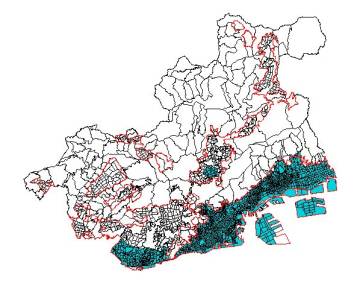
| Regulatory system information | 2500 | Regulatory system zones entered as polygon data |
| Road polygon | 2500 | Roads extracted from topographical maps (1/2500DM) are converted into polygon data and divided by a representative width |
| Central road line | 2500 | Central road lines entered as line data |
| Building lot polygon | 2500 | Land use maps entered as polygon data |
| Block polygon | 10000 | Block area converted into Polygon data |
| Division polygon | 10000 | District polygon integrated into Town level |