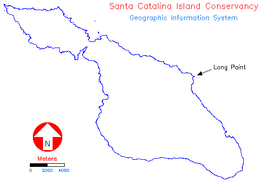
Location of Long Point on Santa Catalina Island
Location of Long Point on Santa Catalina Island
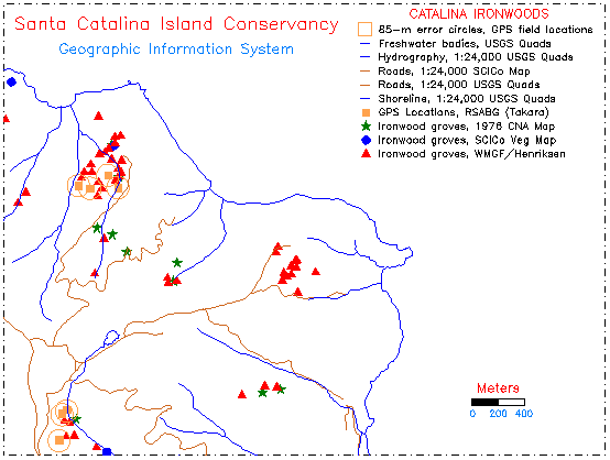
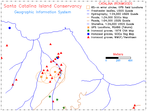
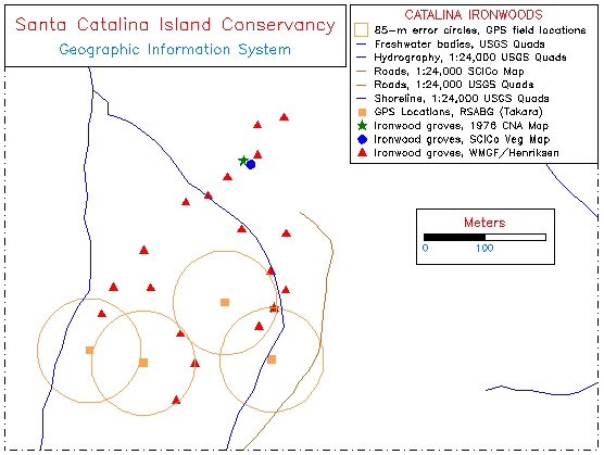
When the digitized ironwood maps from the four surveys (SCICo, CNA, Henriksen, Takara-RSABG) are superimposed (see below), the locations of the ironwood groves in the Long Point area rarely coincide. Groves from the 1975 SCICo survey are identified with blue circles, those in the 1976 CNA map by green stars, those in Peter Henriksen's map by red triangles, and Janet Takara's RSABG GPS locations by brown squares. The field-mapped GPS readings by Takara are surrounded by brown circles of 85 m radius indicating the usual error in the handheld GPS receiver readings.
The differences in mapped locations may be due to mapping errors in the field, since ironwood grove locations are often visually estimated on a USGS topographic map. This may introduce substantial error if an individual unfamiliar with the island or not experienced in reading maps accurately, is conducting the survey. Given this source of error, and the 85 m radius error circle from the GPS readings, it is possible to reconcile locations for many of the groves from the four maps. However, groves represented only in a few surveys, and those not recorded on any of these maps, will require more comprehensive ground truthing and field surveying in the future.
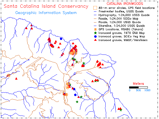
All four ironwood survey map locations in the vicinity of Long Point
 Return to main text