Mapping for Location Based Services on Mobile Internet Devices

Location services is a growing field that is expected to boost when more rapid

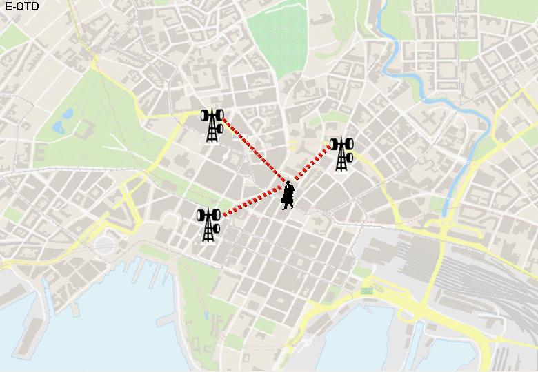
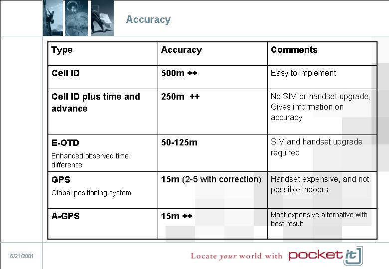
transmission speed and automatic position through the Telcos network are

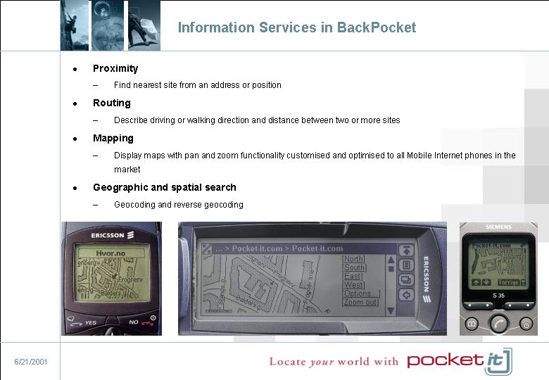
introduced. Mapping services are one of the value added services that will be

integrated with various content. The focus of this paper is to explain the issues

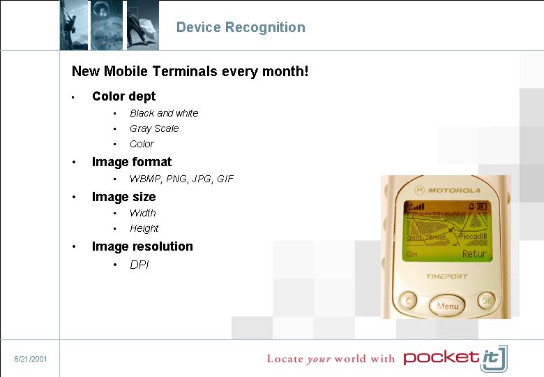
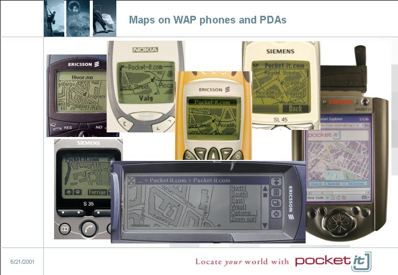
for adjusting maps to Mobile Internet terminals. The challenge is to fit very

detailed and large scale data, on very small and monochrome display. In addition

there will be a discussion on terminal recognition used for map rendering.

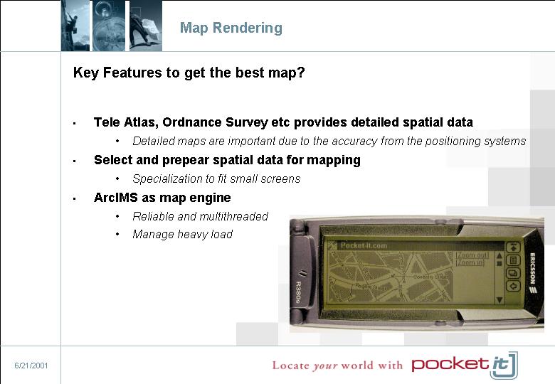
How should themes and priorities be set to maximize the information gain in a map?

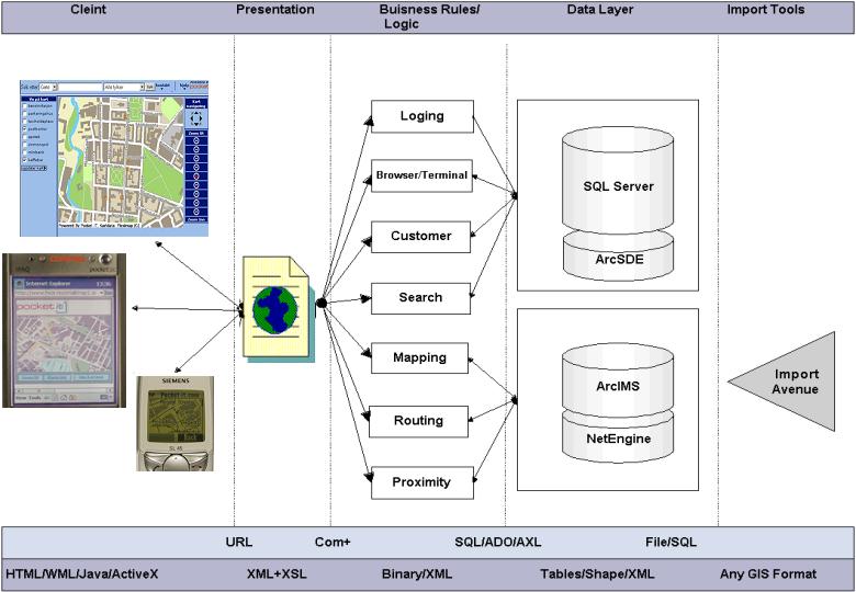
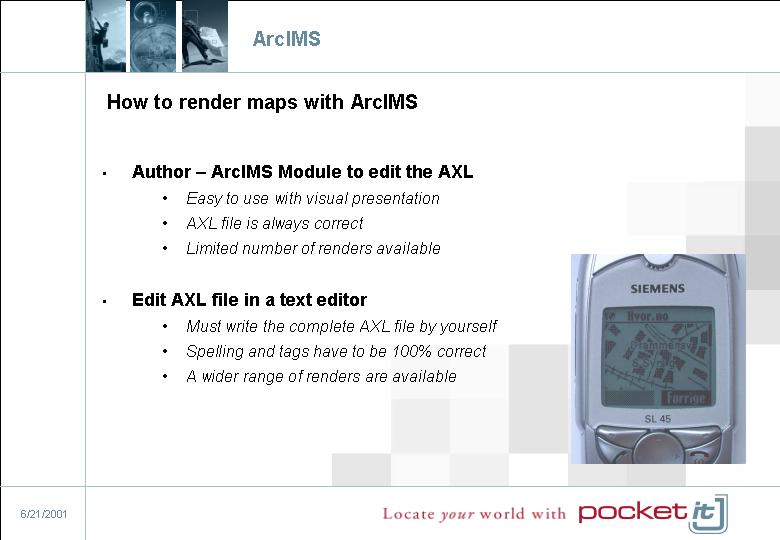
An introduction is given of the potential in ArcIMS to render maps for Mobil

Internet devices.


Pocket


Company Info


Competitive Adventage


Positioning Systems


Base Station


CGI


CGI+TA


E-OTD


Accuracy


LBS Applications


ASP Model


ASP Model


ASP Model


BackPocket


BackPocket


Information Services


User


Nearby


Routing


Mapping in LBS


Select Mapped Region


Center


Center + Accurancy


Box


Device Recognition


User Interface


Map Rendering


ArcIMS


Maps


Sigve Hamran, Pocket-IT
Address: P.O Box 479 Skøyen, 0214 OSLO, Norway
sigve@pocket-it.com
http://www.pocket-it.com +47 21004100
+4721004101