Author(s) : Mark Kemper
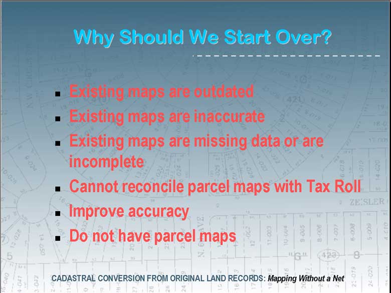
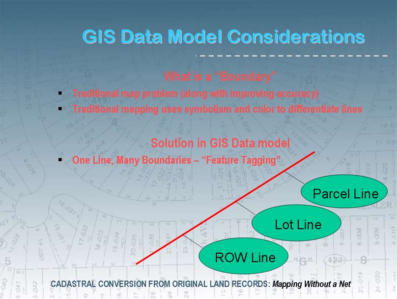
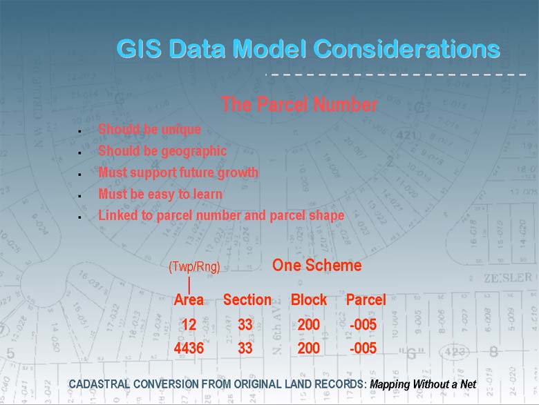
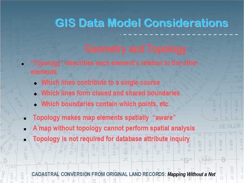
Many local government still use out dated, inaccurate, or even non-existent parcel maps. The need of their user communities often warrant or demand a highly accurate GIS parcel data model, supported by digital orthophotography. In these conditions a scan and warp workflow is not sufficient.
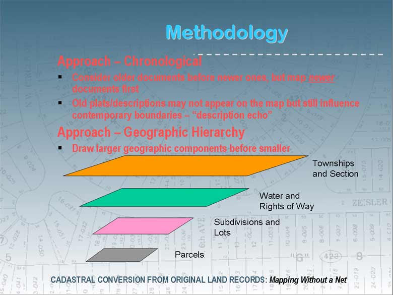
This session addresses the requirements and methodology needed to reconstruct a GIS cadastral parcel base from original land records; the "from-scratch" approach.
Topics include ...
 |
 |
 |
 |
 |
 |
 |
 |
 |
 |
 |
 |
 |
 |
 |