Dr. Jörg Schaller, Scientific Director
With the recent opening of the borders between Western and Eastern Europe, formerly separated neighbours have been developing new economic and cultural contacts. The expansion of the internal European market has created new forms of cooperation and links within Europe. Bavaria, the Czech Republic and Austria are at the centre of this new development process, their borders meeting in the heart of Europe.
The Bavarian Forest, Bohemian Forest and Mhlviertel are situated at the intersection of these three countries - a ecologically, sensitive landscape of low mountains, connecting rather than dividing the three very similar regions.
Issues of environmental protection, economic development, housing and infrastructure, traffic management and general problems of regional planning and information have had to be addressed for this beaufiful region containing two national parks. The formerly marginal and undisturbed region divided by the Iron Curtain became subjected to a sudden increase of traffic, tourism and development after the opening of the borders.
Under contract of the Bavarian Ministry for Regional and Environmental Affairs, the Czech Ministry of Economic Affairs and the Office of the Upper Austrian Provincial Government, a trilateral concept has been created by an international expert group of ecologists, regional planners and GIS specialists, using a central GIS for collection of different data from the various information sources of the respective countries.
The GIS played a central role as an integration tool and as an issue-based Information System to deliver basic information and strategic concepts for the decision makers in the region, as well as those in the state governments.
The tremendous effort involved in creating a trilateral GIS and its successful application for strategic management and policy led the UNESCO to recognize the development concept as an International MAB (MAB and the Biosphere) Pilot Project.
The project was subsidized by 50 % European Economic Community funding as part of the INTERREG Programme.
Dr. Thomas Goppel (Bavarian State Minister of Regional Development and Environmental Affairs), Stanislav Zahud (Vice Minister of the Czech Ministry of Economic Affairs) and Dr. Christoph Leitl (Councillor for Economic Affairs) and Regional Planning in Upper Austria propose that the region can be developed into a more attractive economic area and living environment while preserving its valuable natural resources. Due to the sudden new pressures on the area, there has been a dramatic increase in problems of noise and pollution, excessive visitor numbers in sensitive areas, increasing intensity of forestry and agricultural land use and problems associated with housing development and road construction. Therefore, various conflicts of interest have to be solved. Tourist managers, business people, ecologists and park management have different motivations. This means, that regional planning and strategic development have to take into account the constrasting economic conditions in the three countries, and hence the
Open exchange of information and experience between the three countries proved indispensable for the preparation of the trilateral development concept. For a sustainable development of the 9,000 km2 study region, the following themes were emphasized by a round table of the experts together with the decision makers of the region:
- Proposals for the safeguarding, conservation and management of the basic natural resources and landscape in a way which meets the needs of the Bavarian Forest and Sumava National Parks and which is consistent with the interests of agriculture as well as those of tourism and local recreational needs.
- Future prospects and proposals for agriculture and forestry, taking into account non-agricultural income possibilities particularly in connection with the specific recreational value of the area. To this end, the possibility of directing future agriculture toward predominantly resource-conserving forms of land cultivation was examined.
- Development opportunities, particularly in the areas of tourism and local recreational use, associated with the Bavarian Forest and Sumava National Parks. The opportunities for environmentally and socially appropriate forms of tourism were given particular consideration.
- Traffic measures necessary for the creation and improvement of border crossings, both for road and railway crossings as well as footpaths. The use of environmentally-friendly local passenger transport systems, in suitable areas was investigated.
- Proposals were made for environmentally-friendly practices in the commerical sector, supply and waste-disposal areas (technical infrastructure), and housing construction.
The study is based on the assessment of extensive information. In addition, surveys were carried out by institutions active in the region, organized by the mayors, chief administrative officers of the districts, and district leaders. Through this extremely productive cooperative effort, a number of very detailed proposals were worked out and examined in terms of their compatibility with the aims of the development plan and their suitability as projects for the development of the study region. In addition, expert study groups were formed to deal with specific topic areas (e.g. agriculture) and, working in close cooperation with one another, to work out aims and proposed measures.
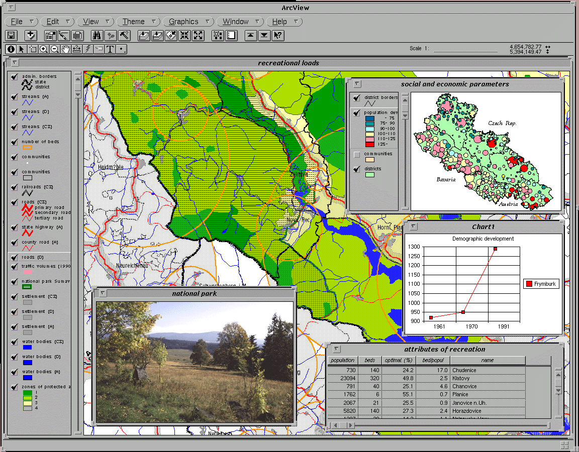
The aim of the trilateral GIS creation was to connect data from the various sources of the three countries to gain relevant planning data and to develop evaluation possibilities. This was necessary to produce thematic maps such as development potentials of functional spatial units, the status of nature conservation including ecologically sensitive areas, socio-economic data of the residential population and tourists as well as data on land use, land use potential and environmentally relevant data of traffic, transportation, emissions, water quality and species diversity.
The geographic database was designed to cover the following aspects in
particular:
- topographic information
- land use and land cover
- water resources and their protection
- traffic and transportation
- tourist infrastructure
- administration and statistical data
The database was created using Esri's ArcInfo GIS software applied in the three countries, with different thematic layers. These were connected to statistical information gained from various sources of the partners' administrations.
The main reason for the success of the international and interdisciplinary project was ultimately the good personal collaboration and relationship between the scientists, planners and GIS experts in the trilateral planning group in selecting, evaluating and integrating the basic information.
The results of the study are published in summarized reports with maps in all three languages. For each country, detailed projects were defined as pilot projects for the solution of typical problems of the region such as species protection, safeguarding of nature resources, soil protection and water purification.
Models for alternative land use strategies in agriculture, forestry, housing, traffic and tourism were developed and have been party implemented. The project proposals to implement solutions for the region have been published in three individual national reports based on the fundamental GIS information. Some of the projects now have been initiated with the financial assistance of the European Economic Community.