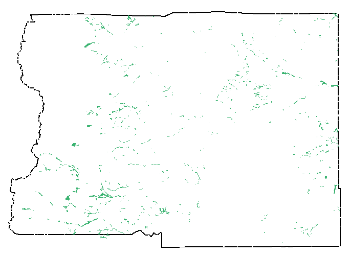
Some GIS Data Layers, Boulder County GIS
We started out several years ago digitizing all of the ink-on-mylar
Assessor's Parcel Maps. Digitizing was completed in 1993
and since then, we have been maintaining updates to these maps.
The parcel layer is considered our base layer, and all thematic
layers are registered so that they fit spatially with the
parcel layer.
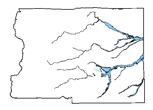
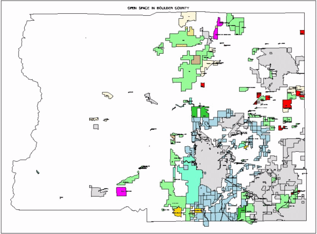
All of the Boulder County Comprehensive Plan maps have been digitized,
and include such layers as wetlands,
natural landmarks and natural
areas, floodplains, geologic hazards,
and open space.
We are in the process of geocoding all of the street centerlines
in the County.
Back to the Beginning
aemlu@boco.co.gov