Map projections allow areas on the surface of the Earth (a spheroid) to be represented on a map (a flat surface). In this way, the precise position of features on the Earth's surface can be obtained from the map. All map projections distort shape, area, distance or direction to some extent. The impact of this distortion on your work depends on what you will be using your map for and its scale.
You can project a view in ArcView whenever the coordinates of the spatial data are stored in decimal degrees.
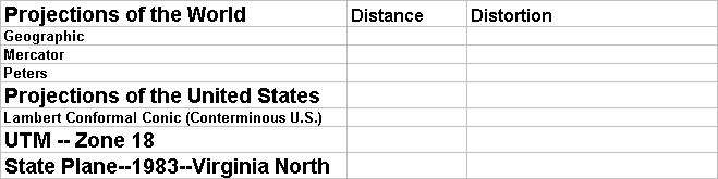
In this exercise the distortion of distance and shape will be shown using a graphic circle and the distance between New York and Los Angeles. The actual distance between New York and Los Angeles is 2,451 miles.
 ACTIVITIES